| Up and out by 7:00, heading back to
Arco for a fill-up and some coffee before continuing the long day. I've seen lots of towns out west that are near a mountain where students from the local school make a big initial of the town on the side of the mountain. Apparently, in Arco each class paints their class year. The oldest I can verify is the class of 1929. It's hard to tell if numbers between 01 and 25 are for the 20th or 21st century, although the 17 at the top looks somewhat old. |
 |
| Tank filled up and on the way to... |
 |
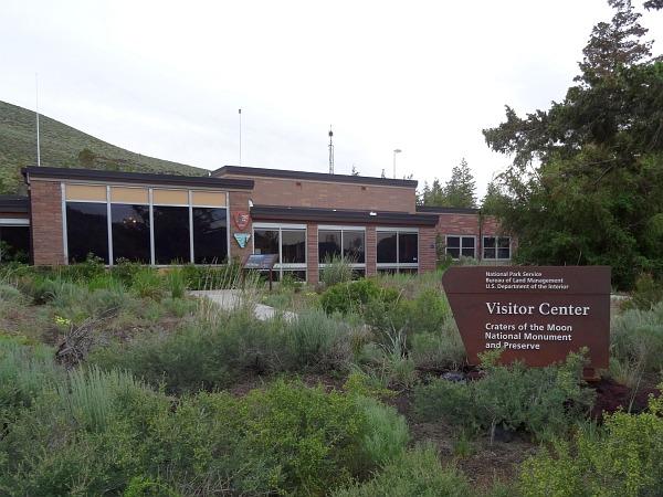
| ...the Craters of the Moon National Monument and Preserve. |
 |
| The lava flows came from a series of deep fissures, known as the Great Rift, that cross the Snake River Plain. |
 |
 I have seen similar lava flows in different places on some of my previous western driving trips. |
|
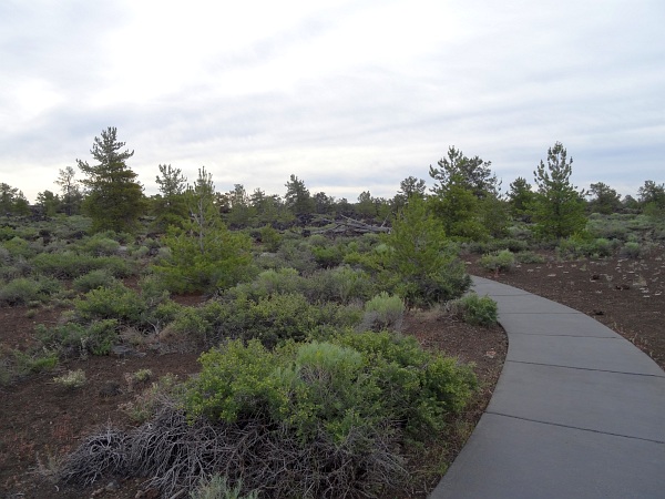
| It is not devoid of life. There are lots of little plants that are growing in the soil around the rocks. |
 |
| This is along the North Crater Flow
Trail. Being here right after the visitor's center opened at 8:00
meant that there were not too many other folks there at that time. The sign here said that this "triple twist tree" was still alive in the late 1950's. It is not anymore. |
 |
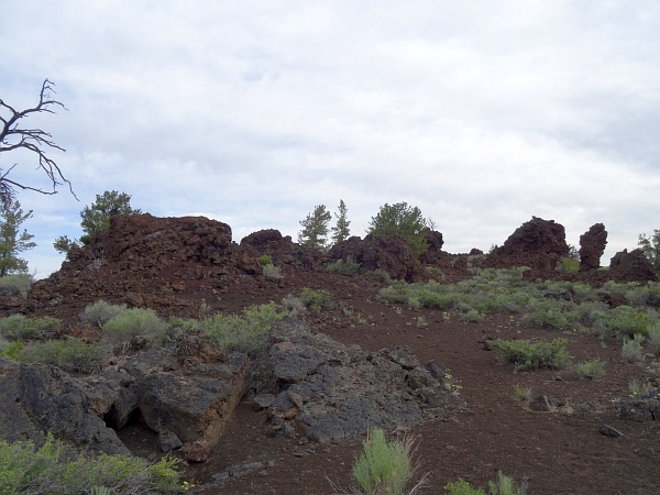
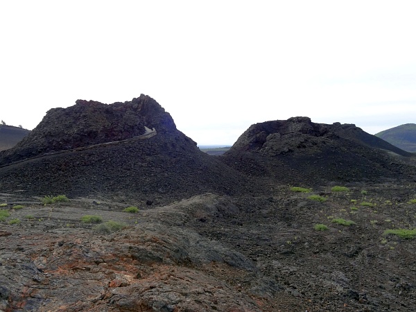
| Some monolithic cinder cone fragments. |
 |
| Now the Devil's Orchard Nature Trail. |
 |
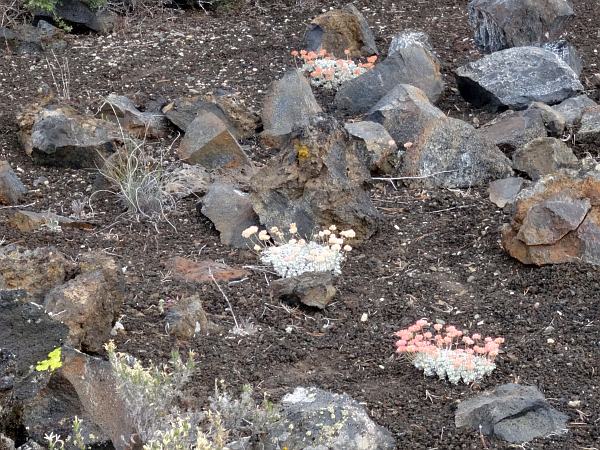
| The little brushy plants had flowers of many colors. |
 |
| Like these little clumps of pink, yellow and white. |
 |
| Some of the rock seemed to form walls. |
 |
| The Inferno Cone. There is not a paved trail, but one can climb to the top. |
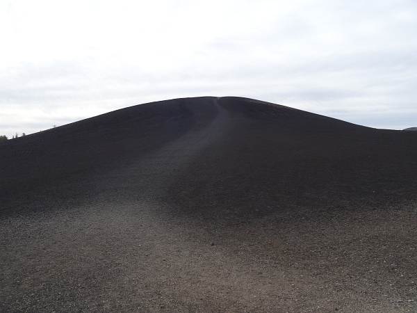 |
| Which I did. My heart rate was a bit elevated after climbing to the top. It's only 0.4 miles to reach the summit, but it is a fairly steep incline. |
 |
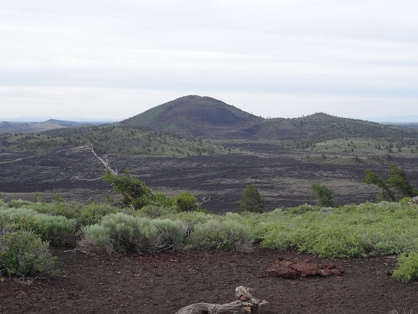
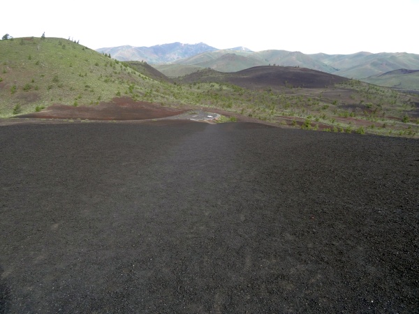
| There are a couple dozen cinder cones in the park. |
 |
| He who goes up must come down. |
 |
| Spatter cones are miniature volcanoes formed when blobs of lava were blown into the air. |
 |
| Looking down into one of them. |
 |
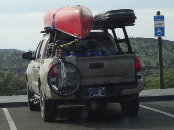
| There was a couple at the spatter cones who had driven from Spring Hill on their way to Oregon. I took the easier way of flying and renting a car. |
 |
| In the mid-19th century, emigrants described the lava flows as "black vomit". I can see that. |
 |
| I think that the flow on the right is referred to as pāhoehoe lava. It looks rather like a liquid. |
 |
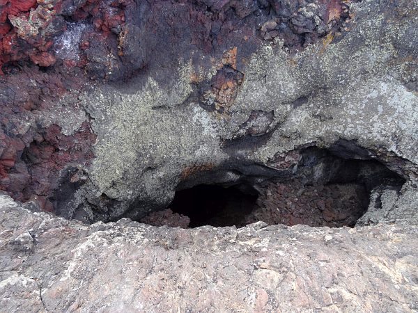
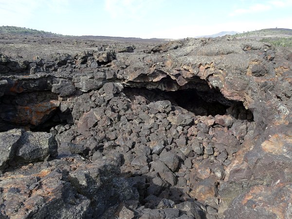
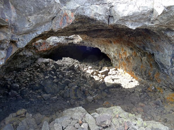
| In the section called the Caves Area
there are, well, caves. Actually, they are lava tubes where hot
streams of lava drained away and portions of ceilings collapsed. This one is called Dewdrop Cave. |
 |
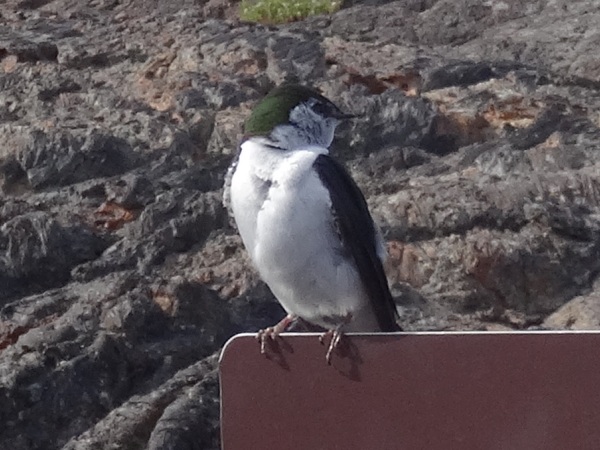
| This little bird was not particularly afraid to see me so close. |
 |
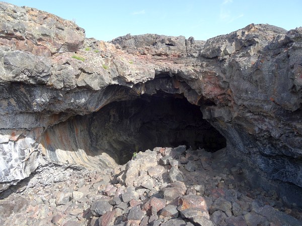
| This is Indian Tunnel, so named for the stone rings that lie near the path to the large lava tube. They are thought to have some ceremonial significance to the Shoshone, who made use of lava caves for shelter and as a source of water. |
 |
| There are stairs that go down into the cave a little bit. Apparently you are allowed to explore further, but there was no one else there doing so and there are lots of rocks to climb over. With my luck I would take a misstep on a rock and sprain an ankle, break a bone or worse. |
 |
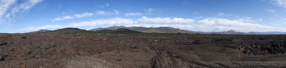 One does get the feeling of being on a distant planet with this landscape. |
|
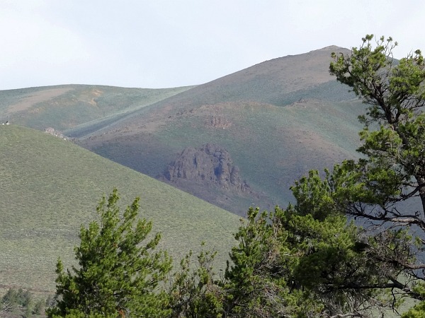
| On the way out I spotted what looked like a castle in the mountains. It wasn't. It was just probably more lava. |
 |
| Heading west on U.S. 20. |
 |
| This is a rather unique place to advertise your school. |
 |
| Montana is known as "Big Sky Country", but Idaho has some pretty big skies themselves. |
 |
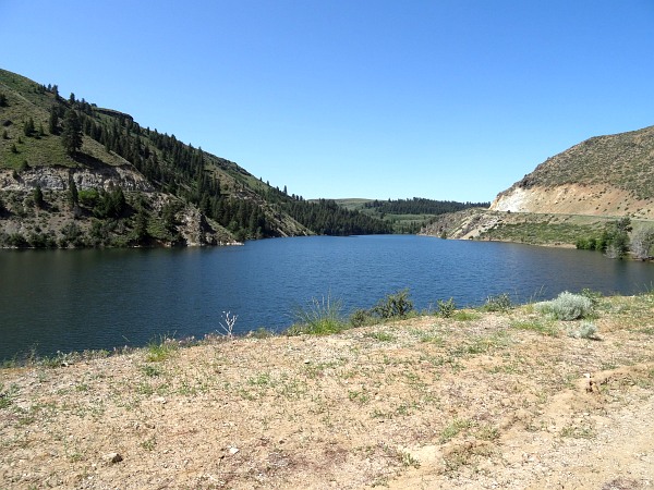
| Part of the Anderson Ranch Reservoir. |
 |
| And back on another unpaved road. |
 |
| I was going to tell you where this is, but the rock pretty much says it all. |
 |
| An old broken-down barn at the intersection. |
 |
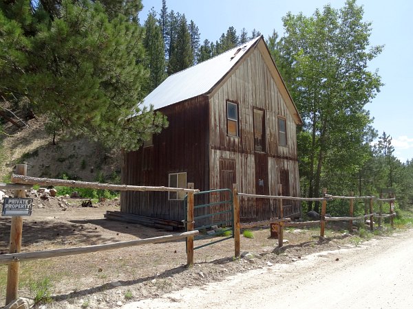
| It can be somewhat hit and miss visiting ghost towns. You never know if there will be a lot to see or just a little. |
 |
| Rocky Bar was more on the little side. |
 |