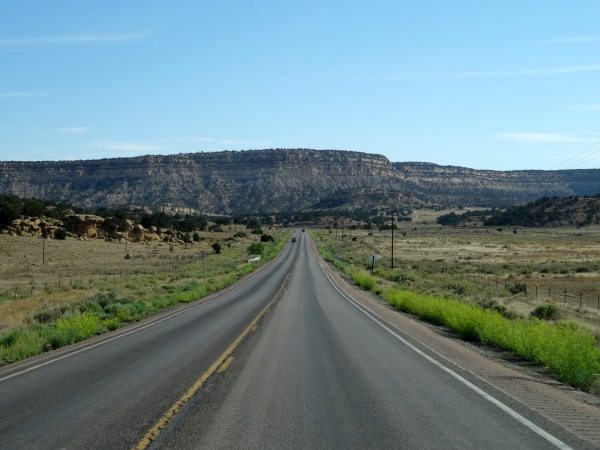
| I filled the tank of the (dented) 4Runner fairly often, which I also did Friday morning. Because I was driving long distances, sometimes on smaller roads with long stretches between towns, I didn't want to chance running out of gas. The fact that the vehicle had one of those displays that tells how far you can expect to go on remaining fuel helped plan the stops. |
 |
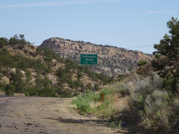
| Like I did the Rio Grande, I crossed the Continental Divide several times on my drive. |
 |
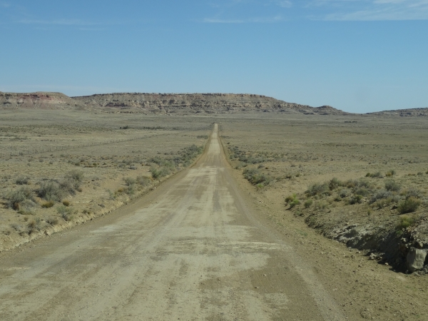
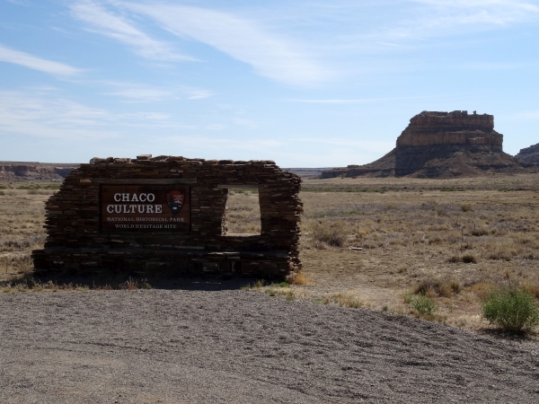
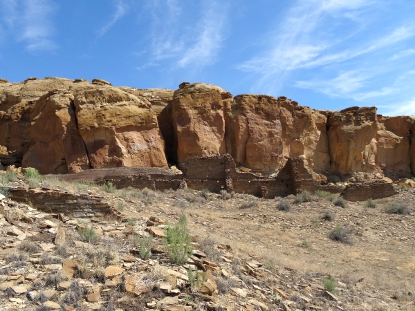
| If you ever go to Chaco Culture National Historical Park, be prepared for a long drive on a washboard dirt road in the middle of nowhere. Very bumpy for miles. I don't know why they don't pave it. |
 |
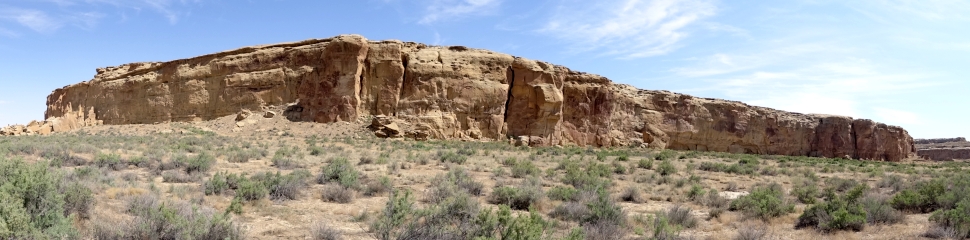
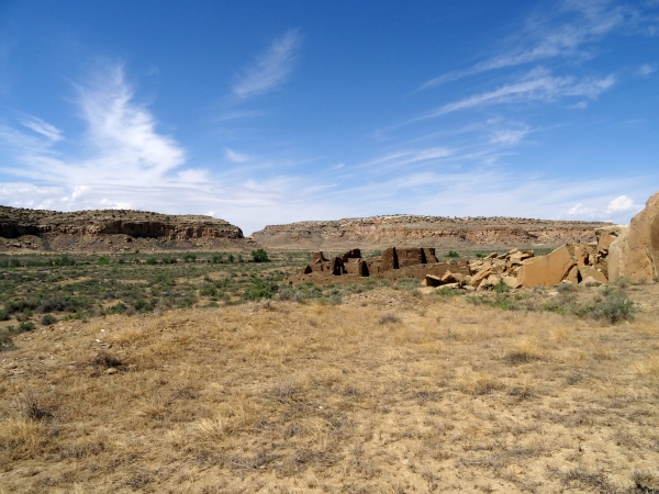
| Okay, so I gave away the destination on the previous picture so the surprise is ruined. That's Fajada Butte in the background. |
 |
| There are several sites in the park accessible by car. The first is Una Vida, which is actually a short walk from the Visitor's Center. |
 |
| I'm just going to warn you in advance. There's going to be a whole lot of pictures of ruins coming up. |
 |
| All in all you're just another brick in the wall. |
 |
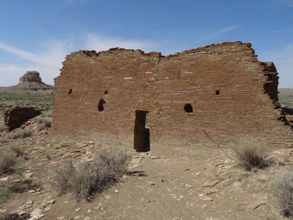
| Next we visit Hungo Pavi. |
 |
| The pamphlet says that visiting this site gives you the opportunity to visit a Chacoan great house which has never been subject to archeological excavations. The annoying thing is that at the Visitor's Center they give you the first to brochures for free but for the other trail guides they charge. Well screw that. I just took the free ones. |
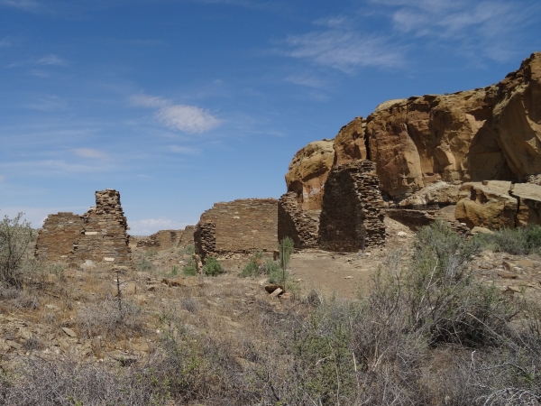 |
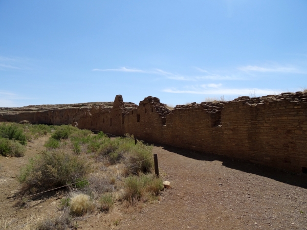
| The public building contained over 150 rooms, a great kiva and an enclosed plaza. |
 |
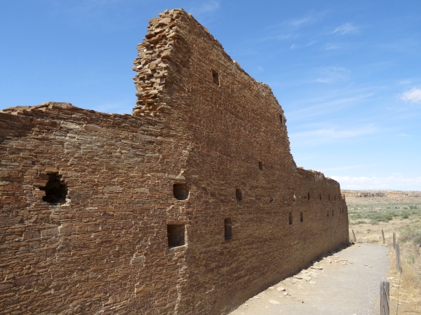
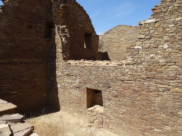
| This is the back wall with little windows. |
 |
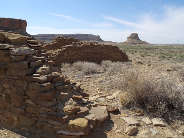
 On the trail to the next site (it's over there on the left), I took a picture of this big rock. |
|
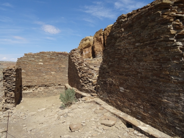
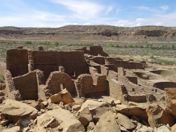
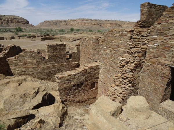
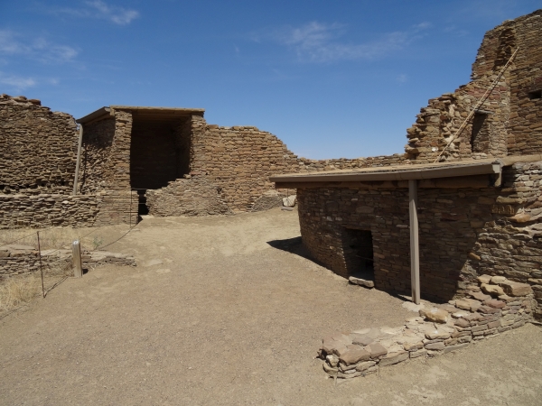
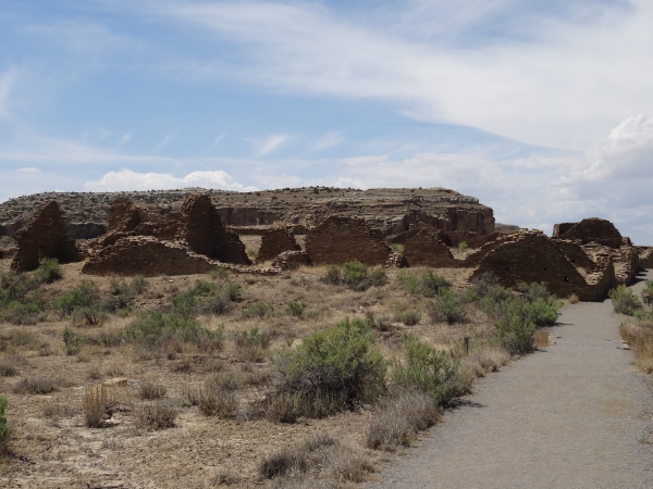
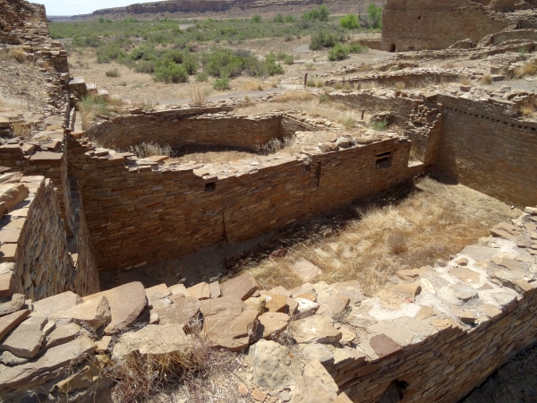
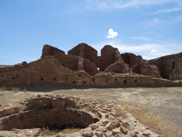
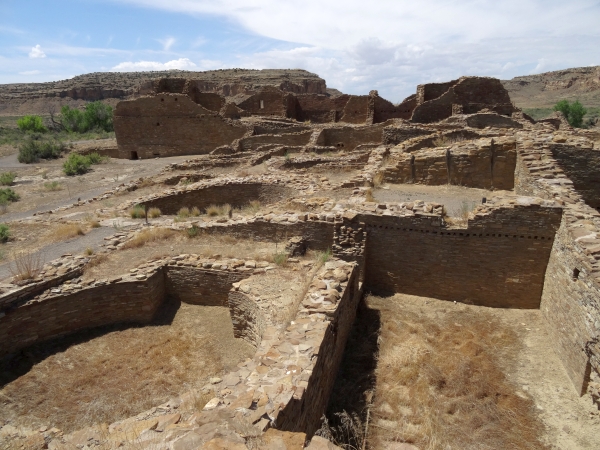
| Pueblo Bonito, the most important site in the canyon. It's also a nice village. That's what pueblo bonito means in Spanish. |
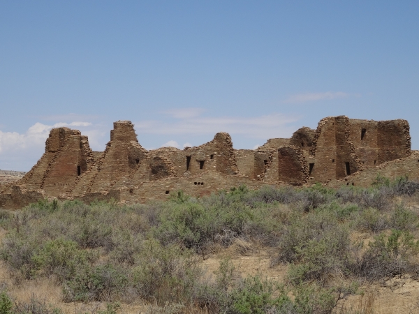 |
| I do wonder how much of these places have been reconstructed. I mean look at that wall. It looks pretty sturdy for a building constructed between 850 and 1150 C.E. |
 |
| It is a rather large conglomeration of structures. |
 |
| It is kind of hot. I wonder if the ancestral Pueblo people who built these places had window air conditioning units for the small windows they put in the walls. |
 |
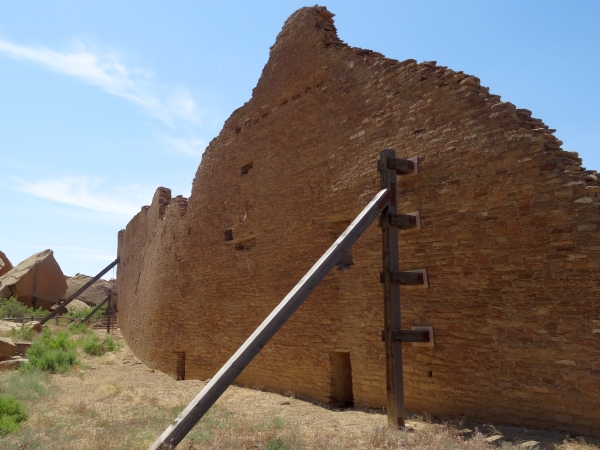
| I suppose after a thousand years the walls need a little support. |
 |
| Of course this is the home of the village midget. |
 |
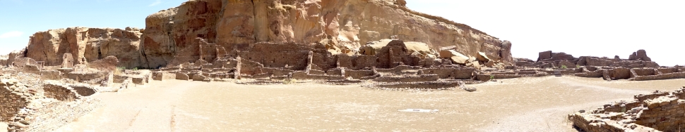 This picture gives you an idea of the size of Pueblo Bonito. |
|
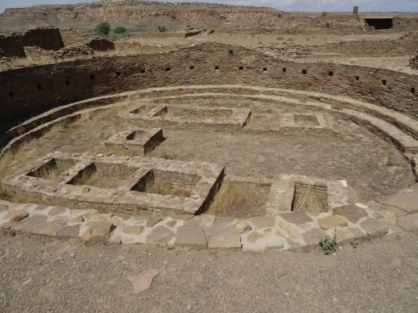
| I get the impression that every one of these large round places are kivas. |
 |
| There were a few clouds in the sky, but not enough for shade. I was sure to use the sunscreen and water bottle I bought at the Walmart in Las Vegas and the hat I bought at the Walmart in Alamogordo. |
 |
| All in all you're just another...oh wait. I already did that joke. |
 |
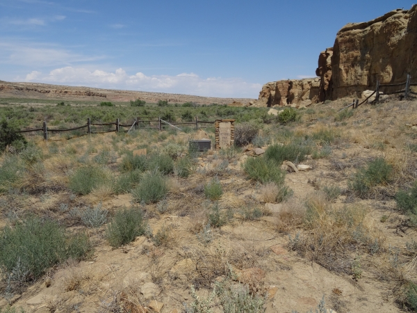
| This is the Wetherill Cemetery. Here is
buried controversial Southwestern figure Richard Wetherill. He was
an explorer whose excavation practices were criticized by others in
the field. He later turned to ranching and operating a trading post
at Pueblo Bonito. He was killed on June 22, 1910 by someone called
Chis-Chilling Begay after a heated dispute between his hired hand
and Navajo neighbors. There are a few others buried in this little cemetery. |
 |
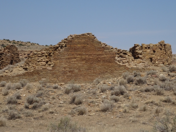
| The last of the sites I visited on Canyon Loop Drive was Casa Rinconada. |
 |
| While grand public buildings like Pueblo Bunito were in use, smaller, more typical villages existed alongside. |
 |
| Did I mention how hot it is? |
 |
| More of those things I assume to be kivas. |
 |